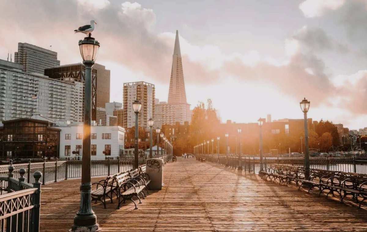
What if the most destructive fifteen seconds in modern San Francisco history were actually the city’s most inspired act of urban planning? It sounds like a stretch, but discovering how the 1989 earthquake transformed San Francisco is the secret to appreciating the breathtaking vistas we conquer on our morning climbs. Most people view the Loma Prieta quake as a somber archive of grainy news footage and broken bridges. It often feels like a distant academic event rather than the living, breathing catalyst for the vibrant streets we navigate today.
We agree that history is best experienced on foot, not in a classroom. This guide promises to show you how those tremors paved the way for the stunning vistas and hidden stairway paths we explore today. You’ll discover the “why” behind the city’s modern layout, from the 1991 removal of the Embarcadero Freeway to the architectural rebirth of the Marina District. Prepare to identify new spots for your next urban hike while finding a deeper connection to the resilience that defines our favorite hills.
Key Takeaways
- Understand how the 1989 earthquake transformed San Francisco by clearing the concrete clutter to reveal the world-class vistas we hike today.
- Trace the 1991 removal of the Embarcadero Freeway, a pivotal moment that reclaimed the waterfront for walkers and redefined the city’s relationship with the bay.
- Spot the subtle architectural cues in the Marina District that signal a neighborhood’s post-quake rebirth and modern structural integrity.
- Locate secret stairway paths that wind through residential backyards, offering an exclusive viewpoint on the city’s most challenging climbs.
- Learn to use the city’s dramatic elevation changes as your personal training ground while uncovering the narrative hidden in every steep ascent.
The 15 Seconds that Rewrote the Map: 1989 Context
October 17, 1989, started as the ultimate Bay Area celebration. The “Battle of the Bay” World Series had residents glued to their screens or packed into Candlestick Park. At 5:04 PM, the ground didn’t just shake; it buckled. The 1989 Loma Prieta earthquake lasted only fifteen seconds, but for those watching the Bay Bridge collapse or seeing smoke rise from the Marina, it felt like an eternity. This moment is the definitive starting point for understanding how the 1989 earthquake transformed San Francisco into the pedestrian-friendly masterpiece we navigate today.
The immediate impact was visceral. Infrastructure that seemed permanent, like the double-decker freeways and the heavy steel of the bridge, failed under the pressure. City leaders faced a monumental crossroads. They could either rebuild the concrete barriers of the past or seize the chance to invent a more open, connected future. This wasn’t just about fixing cracks; it was about reimagining the city’s soul. To better understand this concept, watch this helpful video:
The Marina District: A Lesson in Liquefaction
The Marina District took a disproportionate hit because it sits on a foundation of “made land.” During the 1915 Panama-Pacific International Exposition, builders filled the marshy ground with mud and debris. When the quake hit, this soil underwent liquefaction, turning solid ground into a sinking slurry. Today, the Marina is one of the city’s most pristine, walkable neighborhoods. On our urban hikes, we look for “seismic scars” like unusually level modern foundations tucked between classic facades. It’s a physical lesson in resilience that adds weight to every step of your morning climb.
The World Series Standoff
The Giants and A’s were mid-warmup when the lights went out. That shared trauma forged an immediate, intense sense of community. Neighbors who had never spoken were suddenly clearing rubble together. This psychological shift moved the city away from a car-centric identity and toward a deeper appreciation for our local hills and hidden paths. We stopped looking at the city through a windshield and started seeing it through the soles of our boots. This new perspective turned a disaster into the birth of a world-class walking culture that defines how the 1989 earthquake transformed San Francisco.
The Great Concrete Divorce: How SF Got Its Waterfront Back
Before the ground shook in 1989, the San Francisco waterfront was a dark, diesel-soaked shadow of its current self. A massive, double-decker concrete wall known as the Embarcadero Freeway sliced through the city, effectively divorcing residents from the bay. The earthquake didn’t just rattle the foundations; it broke the spell of car-centric planning. When the city finally completed the freeway’s removal in 1991, it marked a literal and metaphorical opening of the gates. This radical act of “un-building” is a primary reason for how the 1989 earthquake transformed San Francisco into a world-class destination for urban hikers.
Removing millions of tons of concrete revealed vistas that had been buried for decades. Suddenly, the city could breathe. This newfound space paved the way for the sun-drenched promenade we use today to warm up our legs before hitting the steep inclines of the nearby hills. It’s a rhythmic transition. You start with the flat, salty air of the Embarcadero before pivoting toward the vertical challenge of the hidden stairways. The quake essentially acted as an unintentional urban planner, clearing the clutter so we could enjoy the views we now take for granted.
The Ferry Building’s Grand Re-emergence
The Ferry Building was once a hidden transit hub, obscured by the gray bulk of the overpass. Today, it stands as the crown jewel of the city’s food culture and a beacon for explorers. This architectural renaissance was supported by California’s post-quake safety reforms, which prioritized resilient public spaces over high-speed traffic. If you want to see these changes for yourself, joining one of our stairway walks offers the perfect vantage point to see how the city reconnected its historic architecture with the natural landscape.
Octavia Boulevard and the Central Freeway
The transformation wasn’t limited to the water. In Hayes Valley, the collapse of the Central Freeway sparked a similar revolution. What was once a gritty “drive-through” neighborhood became a “walk-through” gem centered around Octavia Boulevard. This shift toward tactical urbanism created the vibrant, pocket-sized parks and residential paths we navigate today. The quake forced us to trade our steering wheels for hiking boots, turning every demolished ramp into a potential new trail through the city’s heart.

Hillside Resilience: Hiking through the Rebuilt History
The 1989 quake didn’t just flatten blocks; it forced a radical reassessment of how we live on the city’s iconic slopes. While the lowlands struggled with soil issues, the bedrock of our hills stood firm, reminding residents why elevation is more than just a view. This realization sparked a renewed interest in the hidden stairways that stitch our neighborhoods together. Understanding how the 1989 earthquake transformed San Francisco means looking beyond the rubble to see how we reclaimed the vertical space. Today, these climbs aren’t just for commuters. They’re the arteries of a different type of city adventure.
The Hidden Stairways of the Marina and Beyond
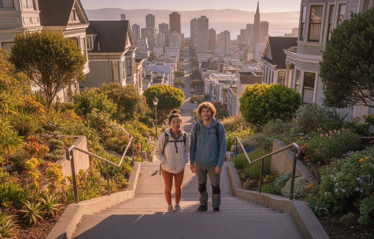
The paths connecting the rebuilt districts offer a masterclass in seismic fitness. As you ascend the concrete and wooden steps, you’re walking through the layers of the city’s recovery. The Marina, once a site of devastation, now boasts some of the most scenic connections to the higher ground of Pacific Heights. These routes provide a physical challenge that mirrors the city’s own upward trajectory. We focus on these elevation changes because they tell a story of survival that a flat sidewalk simply can’t capture.
Every step up is a step back in time, but it’s also a serious workout. The topography itself became a map of safety. The quake highlighted the city’s natural peaks as the most stable ground, leading to a shift in how residents value their hillside access. Navigating these peaks involves significant elevation changes, but the reward is a perspective on the city that feels both exclusive and grounded. Every stairway hike is a reminder that the city didn’t just rebuild; it climbed higher.
Residential Backyards and Secret Paths
There is a quiet intimacy in navigating the secret paths that skirt residential backyards. When the city rebuilt, there was a conscious effort to preserve and enhance these hillside access points. It’s a backyard perspective that tourist maps usually ignore. You’ll see the architecture of survival in the reinforced foundations and modern retrofits of homes built after 1989. These off-the-beaten-path routes turn an early morning exercise routine into a living history lesson. If you’re ready to test your legs on the city’s most resilient inclines, our neighborhood history tours offer the ultimate insider’s path.
Locals prefer these routes because they bypass the crowded tourist hubs while offering superior vistas. Walking through these intimate spaces allows you to see how the city integrated modern safety standards with classic San Francisco charm. You aren’t just looking at houses; you’re observing the evolution of urban engineering. This blend of physical exertion and architectural discovery makes every climb feel like a curated journey through a city that refuses to stay down.
Experience the Legacy: Why We Hike the Quake’s Path Today
Understanding how the 1989 earthquake transformed San Francisco is one thing; feeling the results in your glutes is another. We’ve moved past the era of gray concrete barriers and into a time where the city’s scars have become its most scenic assets. Today, we don’t just look at the skyline. We climb it. This shift in urban design didn’t just happen by accident. It was earned through decades of rebuilding and a collective decision to prioritize the pedestrian over the passenger. From the 1989 disaster to a 2026 discovery, the city has evolved into a masterpiece of vertical movement. Exploring these hidden neighborhoods requires more than a map. It demands an intellectual curiosity about why a certain stairway exists or how a residential path came to skirt a specific backyard.
The City Drifts Difference
We trade dry, academic lectures for pithy stories and local lore that actually stick. Our urban hikes are designed for those who prefer an active approach to history. We connect the dots between the seismic retrofits of the early 90s and the modern fitness culture that thrives on our hills. You won’t find these insights in a standard guidebook. We navigate the intimate spaces where the city rebuilt itself, offering a different type of city adventure that balances physical vitality with cultural study. It’s about seeing the resilience of San Francisco through the very paths that helped the city rise again.
Book Your Urban Adventure
Joining a guided walk is the only way to truly “see” the 1989 transformation in high definition. You can expect significant elevation changes, breathtaking vistas, and a masterclass in the city’s hidden geography. We’ve done the legwork to find the most rewarding paths. This ensures you spend your morning discovering hidden gems rather than getting lost in a maze of cul-de-sac streets. From the sun-drenched Embarcadero to the quiet, leafy stairways of the interior hills, we provide the master key to the city’s narrative. Ready to turn your morning exercise into a journey through history? Reserve your spot on our next San Francisco Stairway Tour and witness how the 1989 earthquake transformed San Francisco from the ground up.
Step into the Living History of the Hills
The city we navigate today is a testament to resilience and radical reimagining. By stripping away the concrete barriers of the Embarcadero Freeway and reinforcing the foundations of the Marina, the city revealed its true, vertical beauty. Understanding how the 1989 earthquake transformed San Francisco is about more than just dates and data; it’s about the physical sensation of climbing the stairs that rose from the rubble. We’ve traded dark underpasses for sun-drenched promenades and hidden hillside paths.
Our expert local guides are eager to share unique routes through residential backyards and secret stairways. These invigorating fitness-focused hikes offer world-class views that were once buried under gray overpasses. It’s time to swap the gym for the open air and see the city from a localized lens. Book Your San Francisco Stairway Tour: Explore the Hidden Gems of a Transformed City and discover the narrative hidden in every steep ascent. The hills are calling, and the view from the top has never been better.
Frequently Asked Questions
How did the 1989 earthquake change the Embarcadero?
The earthquake structurally compromised the double-decker Embarcadero Freeway, leading to its complete removal by 1991. This bold “un-building” replaced a dark concrete wall with the sun-drenched promenade and palm-lined boulevard we enjoy today. It effectively reconnected the iconic Ferry Building with the rest of the city, transforming a former industrial transit zone into a world-class pedestrian space perfect for an early morning urban hike.
Was the Marina District built on a landfill?
Yes, much of the Marina District sits on “made land” created from mud and debris pumped from the bay for the 1915 Panama-Pacific International Exposition. During the 1989 quake, this loose soil underwent liquefaction, causing buildings to sink or buckle. Today, the district serves as a primary example of how the 1989 earthquake transformed San Francisco through rigorous modern rebuilding and innovative soil stabilization efforts that you can see on our walks.
Why were so many freeways removed after the 1989 quake?
Structural damage made repairing the Embarcadero and Central Freeways more expensive and less desirable than simply removing them. City planners and residents seized the moment to move away from car-centric infrastructure in favor of walkable, community-focused neighborhoods. This shift allowed districts like Hayes Valley to flourish once the dark shadows of the overpasses were cleared, creating the vibrant, pedestrian-friendly gems we explore on our neighborhood history tours.
Are the San Francisco stairways safe to hike today?
San Francisco’s hidden stairways are remarkably safe and well-maintained for active urban exploration. Many of these paths are anchored directly to the city’s natural bedrock, which proved far more stable than filled land during seismic events. These climbs offer an invigorating way to experience the city’s resilience while engaging in a serious morning workout through some of the most stable and scenic topography in the entire Bay Area.
How did the 1989 earthquake affect San Francisco architecture?
The earthquake triggered mandatory seismic retrofitting programs and updated building codes that now define the city’s modern architectural landscape. You’ll notice “soft-story” reinforcements on older wood-frame buildings and more resilient foundation styles in the Marina. This unique blend of historic charm and 21st-century engineering is a direct result of how the 1989 earthquake transformed San Francisco into a safer and more thoughtfully constructed urban environment.
What is the best way to see the sites affected by the 1989 earthquake?
The most immersive way to witness the quake’s legacy is through a guided urban hike that focuses on elevation and hidden paths. Walking through residential backyards and climbing secret stairways allows you to see the “backyard perspective” of the city’s recovery. These active tours provide the intellectual context and physical challenge necessary to truly appreciate the narrative of San Francisco’s survival while getting an incredible workout.