Most people view the 1906 disaster as the moment San Francisco fell apart, but for those of us who live for a heart-pumping climb, it was actually the moment the city finally found its vertical soul. It is easy to look at a 45-degree residential street and assume the original planners were simply mad. However, understanding how the 1906 earthquake changed san francisco reveals a much more intentional, if slightly chaotic, story of resilience. The ruins of over 28,000 buildings didn’t just vanish; they became the physical foundation for a city that refused to let gravity dictate its boundaries.
You probably already know that the hills are what make this city iconic, yet you might feel like you’re missing the secret narratives tucked away behind the famous inclines. We’re going to show you how that historic shaking created the unique, stairway-studded urban playground we explore today. We’ll move beyond the dry dates of history books to preview the hidden paths, residential shortcuts, and architectural triumphs that turned a catastrophe into an urban hiker’s paradise featuring over 900 public stairways. Prepare to see the topography of the city through a lens of discovery rather than just a struggle against elevation.
Key Takeaways
- Uncover how the 1906 earthquake changed San Francisco by shifting the city’s physical foundation, turning unstable “made land” into the bedrock of modern districts.
- Learn why property owners clung to a rigid rectangular grid, rejecting a Parisian-style redesign and creating the legendary 40% inclines we climb today.
- Discover how the city’s 900+ public stairways emerged as essential infrastructure for navigating terrain that proved impossible for horses and early automobiles.
- Reframe your morning exercise as a different type of city adventure that connects you to the physical scars and architectural triumphs of the post-quake era.
- Gain a fresh perspective on the landscape by navigating the hidden residential paths and backyard cut-throughs that define the city’s vertical soul.
The 5:12 AM Wake-Up Call: How the Quake Reshaped the Hills
At 5:12 AM on April 18, 1906, the earth didn’t just move; it completely reauthorized the city’s map. Those 42 seconds of violent 7.9 magnitude shaking were the primary catalyst for how the 1906 earthquake changed san francisco. While the bedrock of the hills held relatively firm, the “made land” in the Mission and Marina districts underwent liquefaction. This process essentially turned solid ground into a treacherous, shifting slurry that swallowed buildings whole. It was a brutal wake-up call for a city that had grown too fast on unstable foundations.
For the architects and city planners of the era, the disaster functioned as a violent reset button. The 1906 San Francisco earthquake cleared away the cluttered Victorian sprawl, leaving a blank, albeit smoking, canvas. This destruction allowed for a total reimagining of urban life, even if the eventual rebuild chose to ignore the lessons of the terrain in favor of stubborn persistence. It was the ultimate, albeit unrequested, urban renewal project.
To visualize the scale of this transformation, watch this short documentary on the event:
Tectonics and Topography: A City on the Edge
The San Andreas Fault is the invisible hand that sculpted the Bay Area’s signature ridges. This tectonic boundary created the high-elevation vantage points we now seek out on our morning treks. During the 1906 event, the ground shifted by up to 20 feet in some areas, physically displacing fences, roads, and entire landscapes. While the valleys suffered from the shaking, the hills acted as natural firebreaks, though their steepness would soon present a different kind of challenge for the recovery teams.
The Firestorm That Cleared the Path
The shaking was only the beginning; the subsequent firestorm destroyed 80% of the city. Because the water mains on the hills were severed by the initial tremors, firefighters were left helpless as the flames climbed the slopes. This created a “scorched earth” aesthetic across the city’s peaks, leaving behind a barren landscape of charred timber and brick. While dense downtown neighborhoods were erased, a few isolated hillside pockets survived, standing as lonely witnesses to the city that existed before the great reset.
The Great Rebuild: Why San Francisco Kept Its Impossible Grid
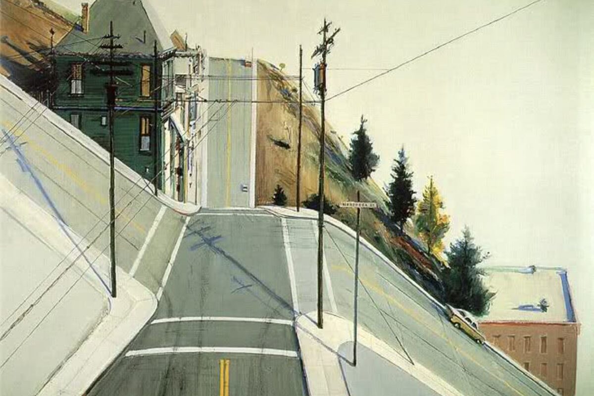
San Francisco’s map is a testament to human stubbornness. While the 1906 disaster offered a clean slate, the city chose to rebuild on the exact same rectangular grid that existed before the tremors. This choice is a central part of how the 1906 earthquake changed san francisco, as it forced a modern metropolis to adapt to grades that often exceed 40%. The grid was never a response to the landscape; it was a layout imposed upon it by real estate interests and a desperate need for speed.
The Battle of the Burnham Plan
Just one year before the quake, architect Daniel Burnham presented a vision of a “Paris of the West.” Daniel Burnham’s 1905 plan featured wide, winding boulevards and hillside paths that followed the city’s natural contours. When the fires finally died down, many hoped this master plan would be implemented to fix the city’s awkward layout. However, the disaster actually killed the dream. Property owners, eager to settle insurance claims and resume business, insisted on keeping their original lot lines. The result was a missed opportunity for elegance that inadvertently created the vertical challenge hikers love today.
This haste also birthed the “San Francisco Special,” those iconic, tightly packed row houses. They were designed for rapid construction and efficient use of space, creating the rhythmic, repetitive architecture that defines our neighborhood skylines. If you want to feel the pulse of this unyielding grid, our stairway walks offer the perfect vantage point to see where the map meets the mountain.
Engineering the Impossible: Post-Quake Standards
The reconstruction wasn’t just about aesthetics; it was about survival. The catastrophic failure of the water mains led to the creation of the high-pressure water system we see on street corners today. Engineers also shifted away from unreinforced masonry, favoring steel frames and resilient wooden structures that could sway with the earth. Perhaps most impressive is the auxiliary water system. It utilizes the city’s highest peaks as massive reservoirs, ensuring that gravity itself can provide fire protection if the pumps ever fail again. These technical triumphs are the hidden bones of the hills, supporting every step of your urban hike.

The Vertical Legacy: Why We Have 600+ Stairways
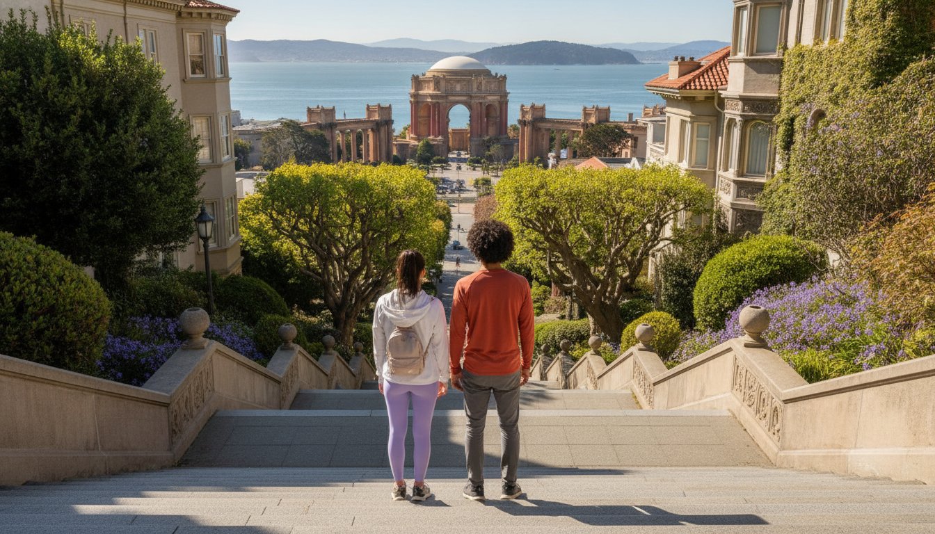
The collision of a stubborn rectangular grid and the city’s unforgiving topography is why San Francisco feels like a giant staircase. Understanding how the 1906 earthquake changed san francisco means looking at the vertical shortcuts that replaced impossible roads. When the post-quake reconstruction began, builders didn’t curve streets around the inclines. They marched them straight up. This created thoroughfares that were far too steep for horses or the era’s primitive automobiles. In many neighborhoods, a “street” is really just a very long flight of stairs in disguise. These pedestrian cut-throughs were formalized as permanent infrastructure, allowing the city to densify on slopes that would otherwise be inaccessible.
From Relief Camps to Residential Gems
The housing crisis following the disaster pushed residents toward the clouds. Over 5,600 relief cottages, famously known as “earthquake shacks,” were built to provide immediate shelter. Many of these tiny, sturdy homes were eventually hauled onto steep hillside lots on Telegraph Hill and Bernal Heights. Because these lots lacked traditional road access, residents relied on narrow paths and wooden steps to reach their front doors. Over 120 years, these hilltop retreats evolved into the lush, private enclaves we navigate today. These historic “backyard” paths are the highlight of our urban hikes, offering a perspective you simply can’t get from a car window.
Navigating the 1906 Scars
The physical 1906 San Francisco earthquake geological impact left the city with a jagged, shifted foundation. To prevent the hills from sliding into the Bay during the rebuild, engineers constructed massive concrete retaining walls and reinforced stairways like those at Filbert and Greenwich. These structures aren’t just functional; they’re vertical galleries of local history. Over a century of growth has covered these 1906 scars with wild roses, jasmine, and towering succulents. This secret world exists between the asphalt, where every flight of stairs tells a story of survival and rebirth.
Ready to conquer the inclines? Join our Stairway Walks and discover the hidden stories etched into every step of the city’s vertical soul.
Hiking the History: Seeing the 1906 Legacy on Foot
You can read about the 1906 disaster in a library, but to truly understand how the 1906 earthquake changed san francisco, you need to feel it in your legs. History here isn’t a dusty museum exhibit; it’s a physical adventure etched into the very stones and concrete of our hillsides. Every flight of stairs acts as a tangible record of survival, representing the city’s refusal to be flattened by fate. By trading the flat, predictable sidewalks for our vertical shortcuts, you’re not just exercising. You’re traversing the literal scars and triumphs of a city that rebuilt itself with a defiant, upward trajectory.
The City Drifts Experience: More Than a Walk
Our approach to urban hiking prioritizes the hidden, the overlooked, and the authentic. We steer clear of the typical tourist traps to guide you through residential backyards and narrow pedestrian passages that most locals don’t even know exist. It’s a sophisticated blend of invigorating early morning exercise and curated historical narrative. You’ll find yourself navigating less-traveled paths where the scent of jasmine hangs heavy and the architecture whispers stories of the Great Rebuild. This is a different type of city adventure, designed for those who value depth, elevation, and the joy of discovery.
Your Next Urban Adventure
When you join one of our Stairway Walks, you should expect significant elevation changes, breathtaking vistas, and a close-up look at the resilient architecture of the post-quake era. We encourage you to ditch the tour bus and lace up your hiking boots to see the real San Francisco. You’ll witness how the rigid grid system forced builders to get creative, resulting in the secret gardens and hidden views that define our vertical soul. It’s an active, outdoor lifestyle choice that rewards curiosity with perspective. You haven’t truly understood the scale of the 1906 quake until your quads feel the reality of the elevation change.
Ready to see the city from a fresh perspective? Join a City Drifts Stairway Walk today!
Step Into the Living History of the Hills
San Francisco’s vertical identity is no accident. It’s a direct result of a city that refused to yield to nature. We’ve explored how the 1906 earthquake changed san francisco from a traditional Victorian port into the stairway-studded urban playground we navigate today. By stubbornly clinging to a rectangular grid on 40% grades, the rebuilders created a landscape where pedestrian cut-throughs became essential infrastructure. These hidden paths now offer more than just a shortcut; they provide an invigorating window into the city’s resilient soul.
If you’re ready to trade the sidewalk for a secret residential trail, our urban hikes are the perfect way to engage your body and mind. You’ll join expert local guides with a passion for urban storytelling on a journey through hidden neighborhoods that most residents never see. It’s a chance to experience the physical vitality of an outdoor pursuit while uncovering the quiet stories of post-quake survival. Every climb offers a fresh perspective and a well-earned vista.
Book Your San Francisco Stairway Tour: Explore the Hidden History and discover the city’s triumphs one step at a time. The hills are waiting for you.
Frequently Asked Questions
How exactly did the 1906 earthquake change San Francisco’s layout?
The earthquake acted as a tectonic reset that cleared 28,000 buildings, allowing for a rapid rebuild on the original rectangular grid. This choice is a defining part of how the 1906 earthquake changed san francisco because it ignored the natural contours. Instead of winding roads, the city got steep, straight streets that eventually required pedestrian stairways to remain functional for residents.
Why does San Francisco have so many public stairways instead of roads?
Most of the city’s 900+ public stairways exist because the grid layout met hills with grades exceeding 40%. These inclines were far too steep for horses or early automobiles to navigate safely. To ensure residents could still reach their hilltop homes, the city formalized these vertical “streets” as permanent pedestrian infrastructure, creating the stairway-studded urban playground we explore on our hikes.
Which San Francisco neighborhoods were most affected by the 1906 quake?
The Mission and Marina districts suffered heavily due to liquefaction of “made land,” while the subsequent firestorm razed 80% of the city. Hillside neighborhoods like Nob Hill and Telegraph Hill were almost entirely cleared of their original Victorian sprawl. This destruction paved the way for the unique residential enclaves and hidden backyard paths that define these high-elevation districts today.
Can you still see damage from the 1906 earthquake today?
While most structural ruins are gone, you can still find “scars” in the form of massive concrete retaining walls and shifted property lines. In some hidden residential corners, you might even spot original earthquake shacks that were moved to steep lots after the fire. These remnants are best seen on foot, where the physical offset of the landscape tells a story of survival.
Is it safe to go on a stairway hike in San Francisco given the earthquake history?
It is absolutely safe, as modern San Francisco enforces some of the world’s strictest seismic building codes. Many of the stairways and retaining walls have been reinforced over the last century to prevent erosion and sliding. An urban hike is actually the best way to appreciate the engineering triumphs, like the auxiliary water system, that keep the city’s vertical neighborhoods standing firm.
What is the best way to learn about the 1906 earthquake while visiting San Francisco?
The most engaging way to learn is through an active urban hike that connects history with physical geography. While museums offer dates, a guided stairway walk reveals how the 1906 earthquake changed san francisco by letting you climb through the actual landscape it reshaped. You’ll discover hidden stories and architectural details that simply aren’t visible from a tour bus or a car window.